This park is between Little Falls and Brainerd, Minnesota on Highway 371. I remember when this highway was just one lane in each direction and if you were stuck following a slow vehicle it was a long way to Paul Bunyan Land. Usually that slow vehicle was pulling a boat on a trailer. Now this road has a median and two lanes in each direction. The trucks pulling boat trailers zip by me as I casually drive just under the speed limit in the right lane where I belong because I am in no hurry.
This is an update to my October 2019 visit. I returned here on Mother’s Day, 2021 and explored the north half.
People familiar with Highway 371 know the place where the median gets wide enough to house a nice rest stop with tourist information and decent wifi. When leaving the rest stop, follow signs to go south but instead of turning onto the highway, go straight across the highway. In a couple miles you will be at the State Park ranger station. It was about noon on Halloween day when I arrived. A hand-written note on the window said “back at 2:00”. My State Park sticker was expired so I filled out the payment envelope. Easy. My brain did start calculating the probability of getting a ticket, but I decided not to risk it. Supporting State Parks is important. I have no problem paying $35 for the annual pass. It arrived in the mail shortly after I returned home. I hope I remember to attach it to my windshield before I lose it! Update: I remembered. My current sticker is good until December 2021.
Following the road to the end, I found a spacious parking lot with a building that had restrooms with running water. Unfortunately they were closed for the season. The outhouse was fine. Clean cement floor and well vented, it gave me no reason to complain. Update: The building is still closed. Outhouse still in good shape, but no hand sanitizer.
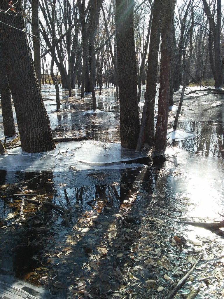
Starting the hike, I had the choice of following the river upstream or downstream, or entering the forest. I chose the forest. Walking on a carpet of leaves as the sun made a mosaic of bright spots and shadows, I was really enjoying myself. On Mother’s Day, I followed the trail upstream and saw historic buildings and informational signs about the city of Crow Wing that used to be the center of commerce in this area but no longer exists.


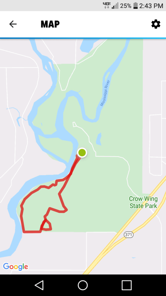
This red line was my route. It was 3.93 miles (6.32 km) The green dot is the parking lot. 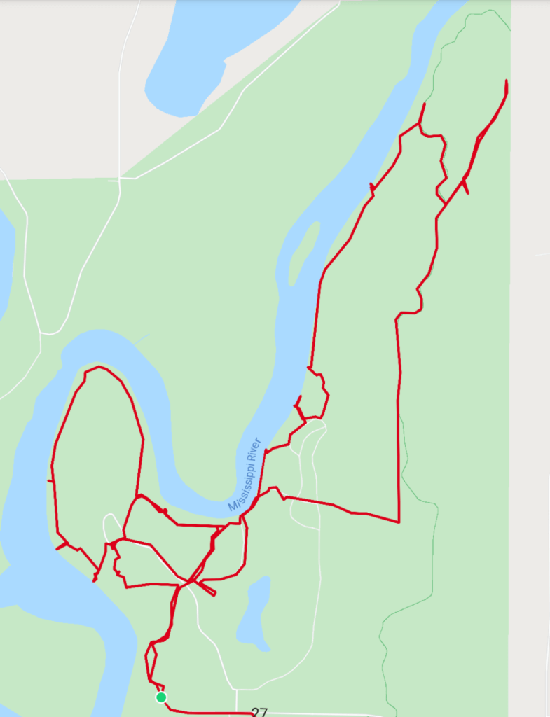
Mother’s Day 2021. 7 miles (11.2 km)
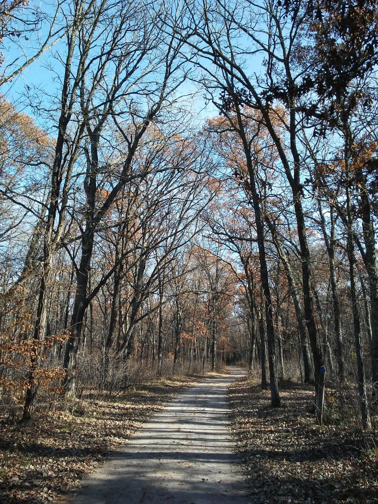
Sunshine and shadows. 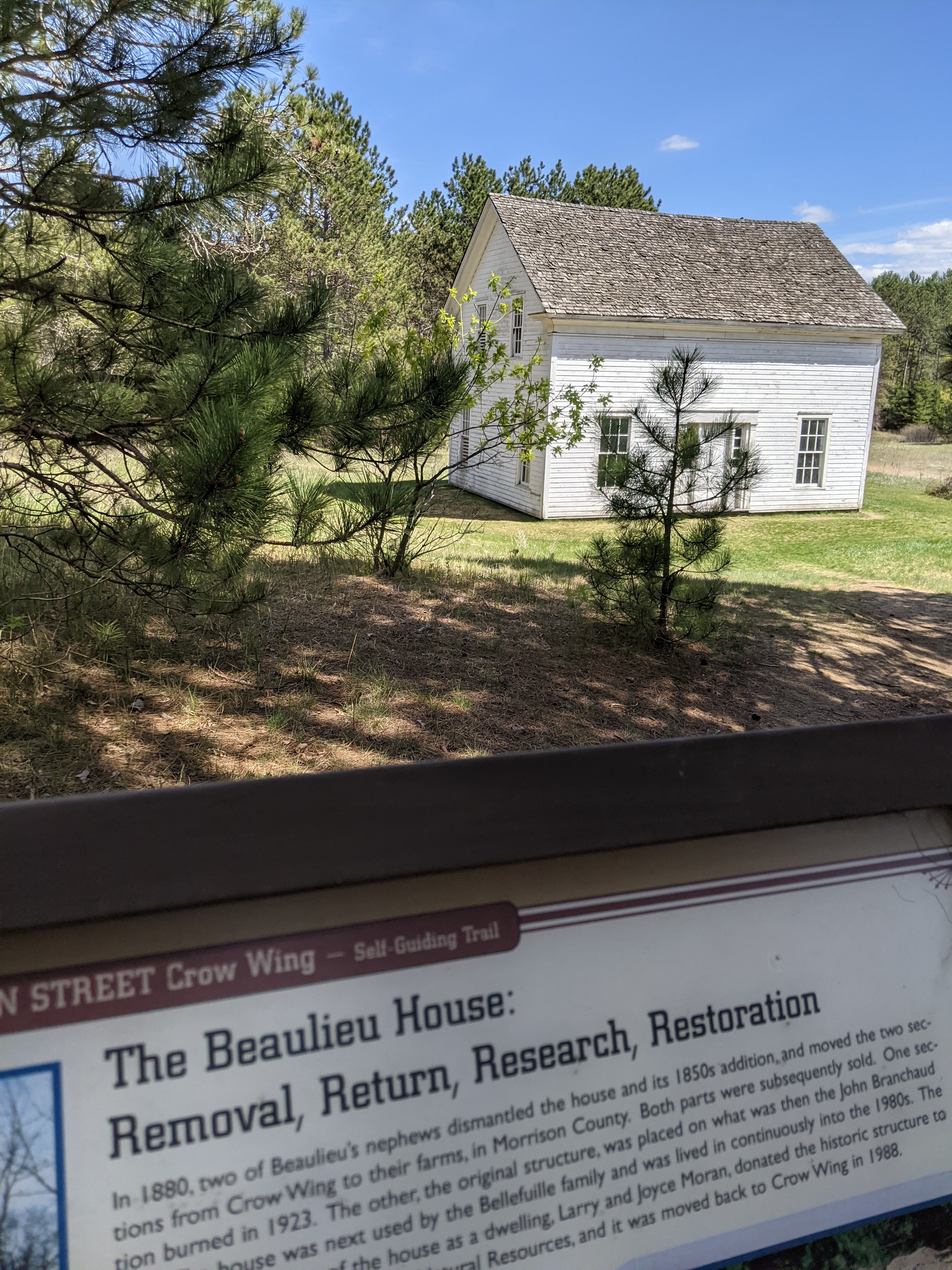

I noticed this cloud looked out of place. 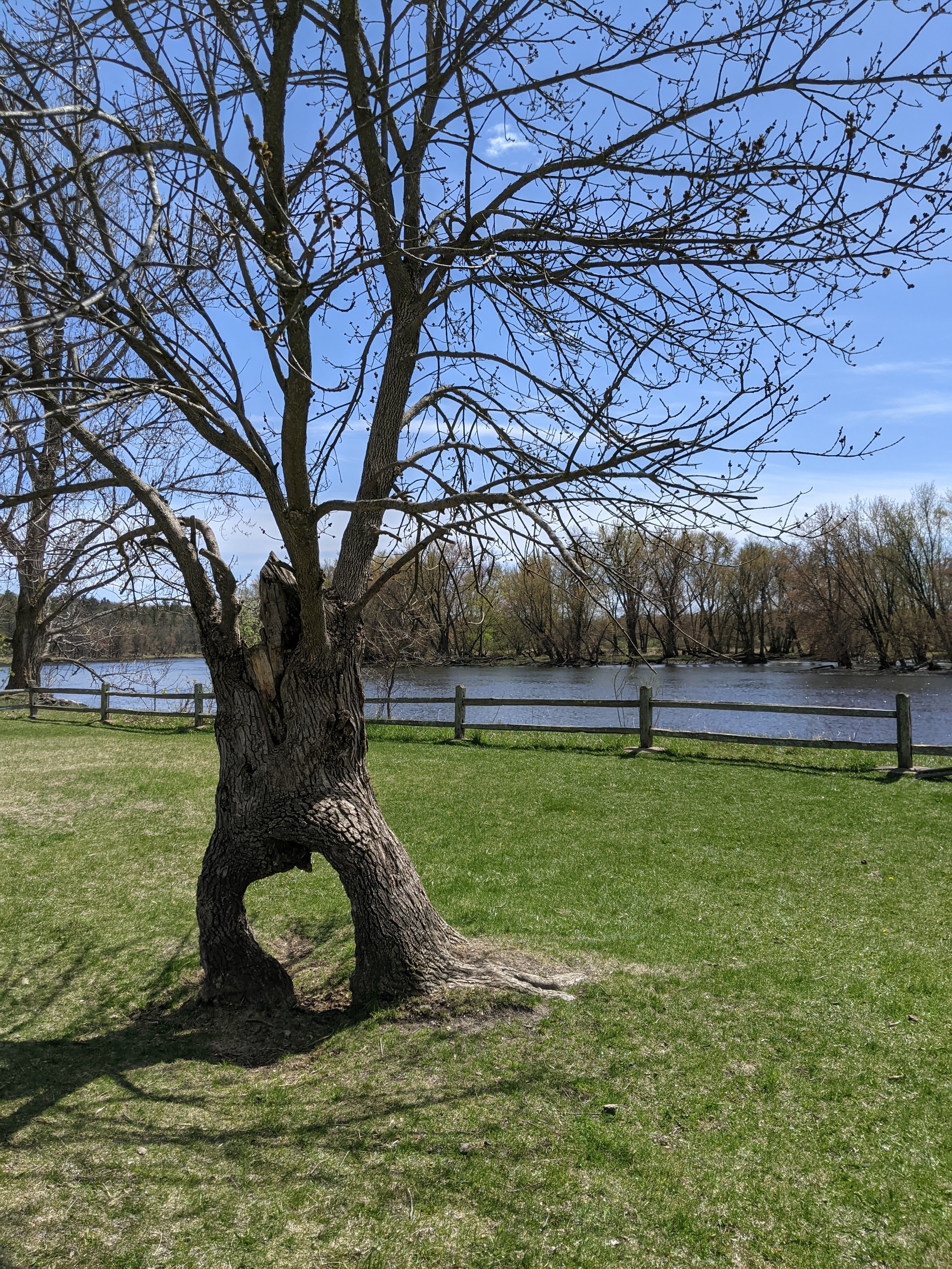
What an interesting tree! 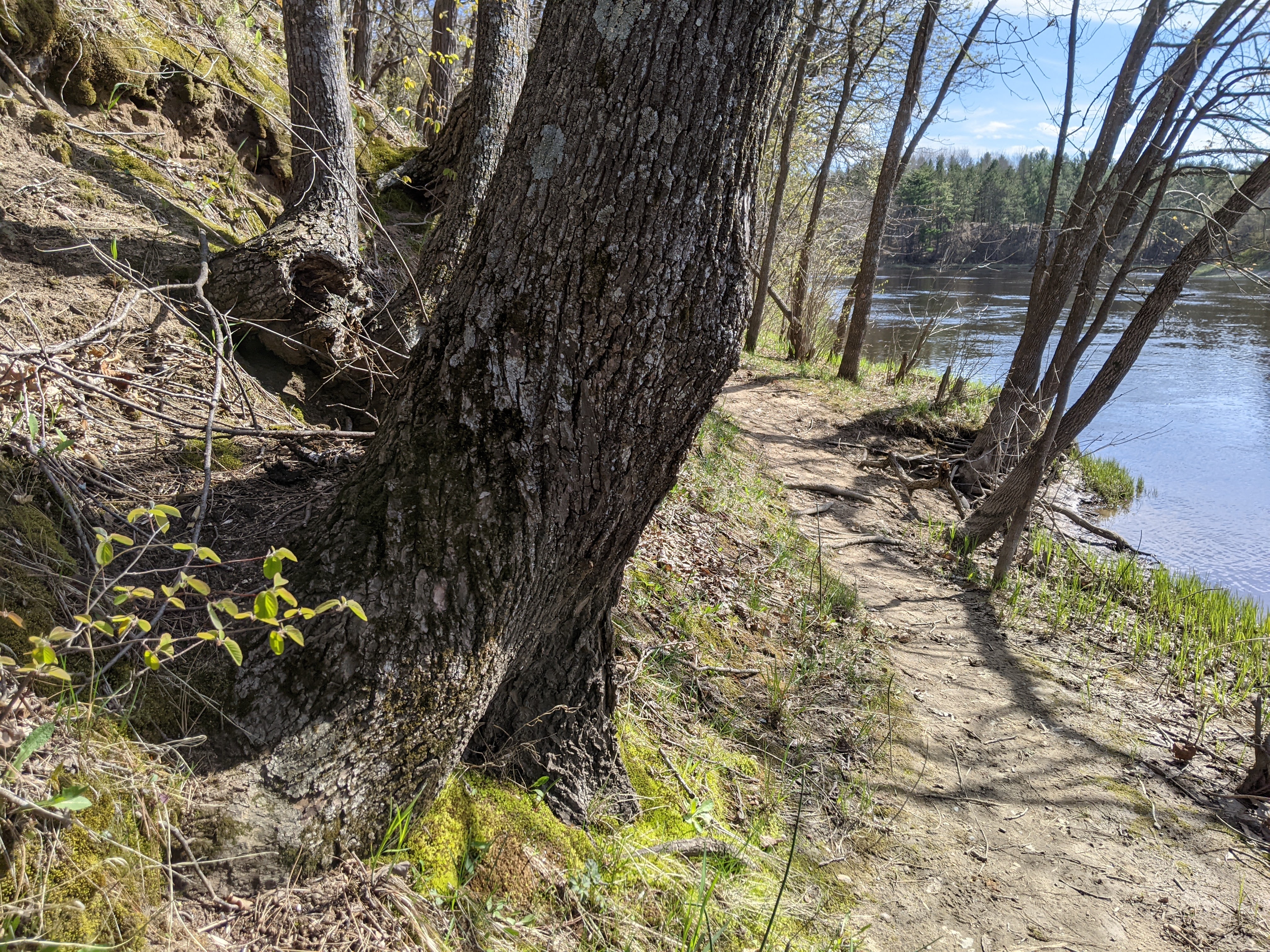
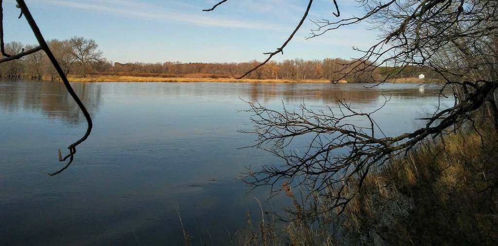
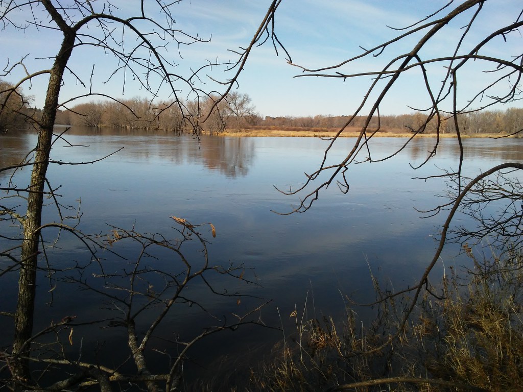
A trail with roots and rocks next to a river! I found another happy place! 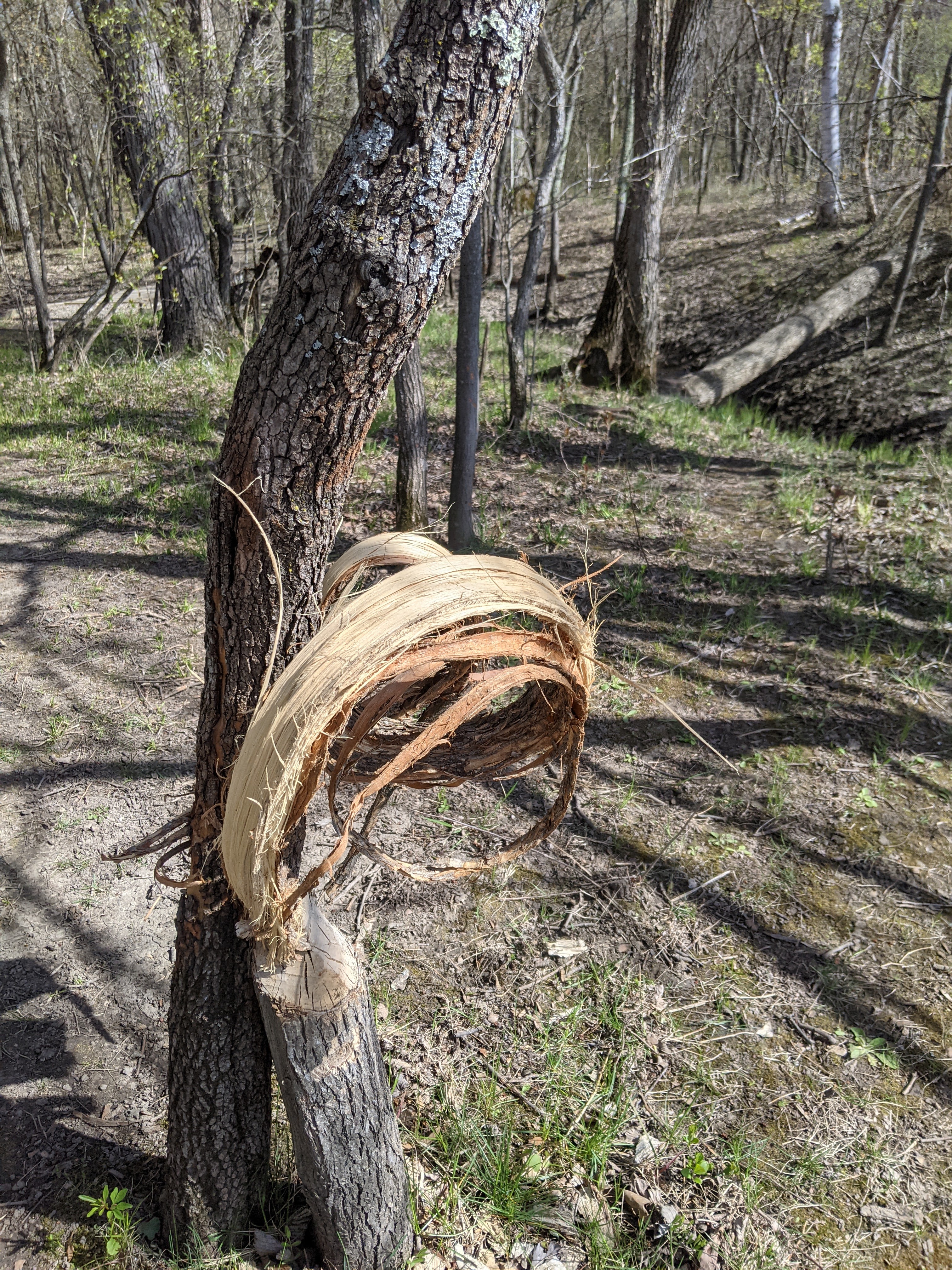
Could this be Beaver Art? 
Mother’s Day painting spot 
This beautiful view extends upriver a long way. It is called “Chippewa Lookout”. Many of the names and signs here make me wonder how the Ojibwe view this park.
This was the best possible way to spend this day. Both times. After this hike I met my husband and son for dinner and then back to my cabin of solitude. It was a balance between activity and rest. It was a balance between interaction and solitude. I am learning. Yes. I have learned a lot more since Fall of 2019, and I continue to learn how to grieve and grow and carry on.
I notice more about my whiteness lately. What I wrote about encountering only white people on last week’s walk in Bunker Hills applies here, too. If anyone who is a part of the Minnesota State Park system is reading this, please take another look at the informational signs in this park. Invite members of the local Ojibwe community to look at them with you. Be open to learning something new.
If you have read all the way to end of this post, maybe you are a person who would be interested in being on my email list? I’ll send out updates on guided hike opportunities, gallery events, and volunteer opportunities. Hmmm. That is interesting to me to reread what I thought the email updates would be. OK. No promises. People on my email list get the most up-to-date information about what is going on with Paint and Hike. Usually it is just 1,2, or 3 emails per month.
Peace.

Leave a comment