
How did this park escape my attention all these years? It has even been suggested to me by multiple people. I have no excuse! I’m glad it is now a part of my life experience. I am better for it. It is along the Mississippi River in St. Paul, Minnesota. Hidden Falls has been a St. Paul city park since 1887. The city website says that there are 6.7 miles of trails. Crosby Farm was acquired by the city in the 1960’s. Crosby Farm’s website also says it has 6.7 miles of trails. Are they the same 6.7 miles? I think so. When I was there in March of 2025 I walked both parks and then back to my car at Crosby Farm for a total of 10 miles (16km).
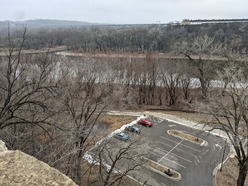
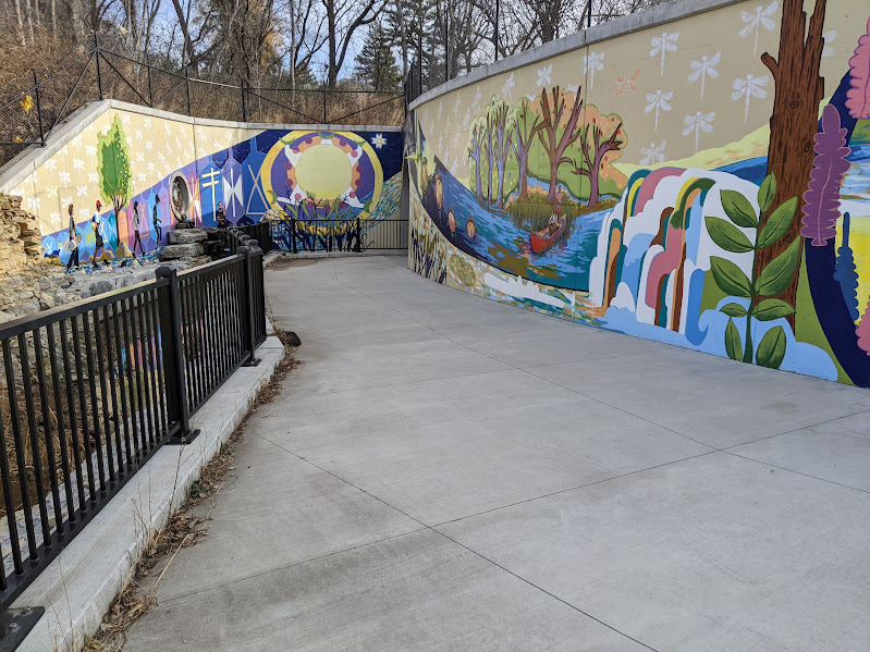
On the first day I was there in November of 2024 I only explored about 3 miles. I was most interested in the area around the falls and the loop through the woods near the river. I got my heart rate up going up the hill from the parking to the overlook and was rewarded with a nice view and a colorful mural on the retaining walls. If you have children with you when you go, there is a modern playground in Uŋčí Makhá Park at the top of the hill.
It was a cold day on the November visit and my phone battery died. November in Minnesota is the time to start bringing extra battery power on hikes. It also helps to keep the phone closer to your body to keep it warm. Another cold weather tip is to invest in a good base layer of clothing. Anything lightweight and breathable will be better than nothing. I suggest finding something that has wool in the blend. Wool can keep you warm, even if it gets wet. Don’t forget to make sure to have a way to keep your head, hands, and feet warm. I have a wool hat and mittens. For socks, I love my Silverlight socks. They are spendy, but feet are important! They keep my feet warm and dry. This is not an ad, just information. I do not have any connection to that company…yet 😉
Practical information about this park: The north entrance is a steep downhill road that is not too long. The first parking area is closest to the falls and picnic shelters. There are restrooms, I assume they are open in the summer. In November the restroom option was a portable pit toilet which was clean, but the hand sanitizer was empty. Good thing I brought my own! Another parking area is next to the boat launch. The south entrance is also a steep downhill. It is about a mile downriver from the north entrance. No facilities, just access to the paved trail. Another mile or so downriver is Crosby Farm. Its parking area is large with a nice picnic shelter and pit toilets. The parking area furthest downriver is at the south end of Lexington Avenue. It only has a few spots and they are usually full. There is a pit toilet at that parking lot.
All of the parking areas are free and have access to the trails. One of the dirt trails was closed in March of 2025, hopefully just temporarily. Best to check the website for closure notices.
I was here a couple days before Thanksgiving. The 2024 election still a fresh wound. I’ve had elections not go my way in the past, but this felt different. It felt like half the population was saying that they don’t care about basic human dignity. You can disagree, but that is how I was feeling. I find that a wonderful antidote to this feeling is walking a long way. The cold crisp air on my face felt good. A stranger with a dog was reading a sign and started a conversation with me. As with all interactions with strangers, I checked my surroundings and weighed my risks. I decided to continue the conversation. He knew facts about the park and said that this park is the best park in St. Paul, in his opinion. This short conversation strengthened my faith in humanity. It is still ok to interact with each other. Thank you, kind stranger.
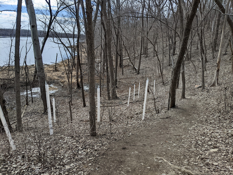
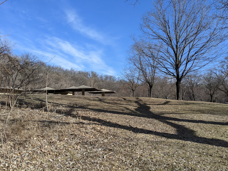
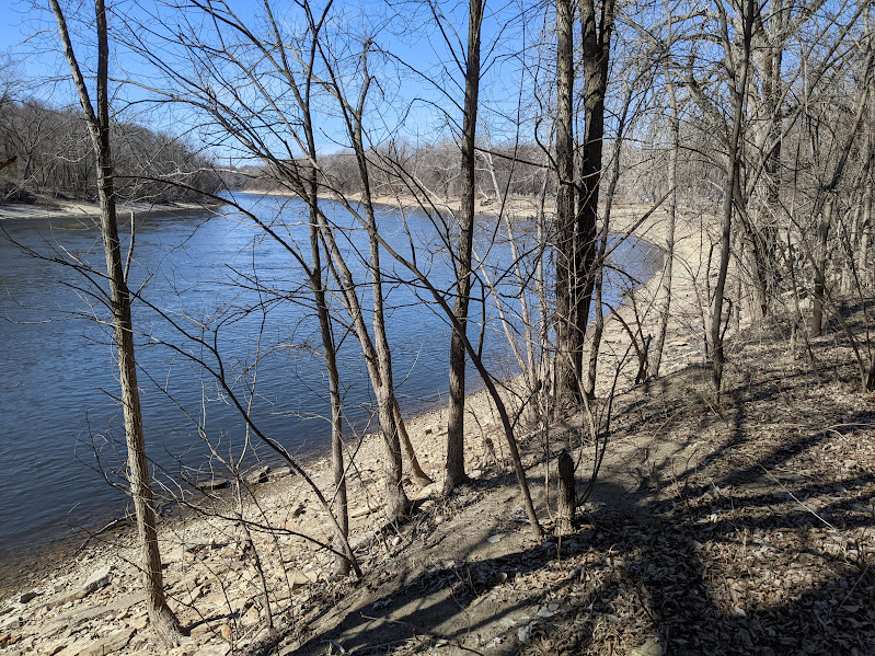
I agree that this park has variety. There are three dirt paths that start from the picnic area next to the first parking area at the North Entrance. The trail on the right is the one that will take you to the falls. The other two dirt trails are the beginning and the end of a loop that is about a mile long. It goes through woods, next to sandstone cliffs, along the chain link fence that separates the park from the Ford Motor Plant’s hazardous waste site, and then along the Mississippi River. Wow. Variety.

The area at the falls looks like it has been redone recently. There are new wooden steps with a ramp for bikes to go down. There is a pedestrian tunnel with a mural. A QR code is painted on the mural so you can learn more about it. I’ll put the link here for you: https://elissacedarleafdahl.com/Unci-Makha-Mural


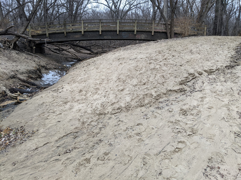

At one point between the North and South entrances, the paved trails winds between some mounds that look like they could be burial mounds. I could not find information about them. I know that the nearby parks of Fort Snelling State Park and Indian Mounds Regional Park are locations sacred to the Dakota people. The place where the Minnesota and Mississippi Rivers meet is called Bdote. It is at the downriver end of this park. I encourage you to learn more by looking at the Indian Mounds Regional Park website, and this collection of video interviews at the Wakan Tipi Awanyankapi website. I believe it is an important thing to learn as much as you can about the places you inhabit. If you have information to share about this park, please add it in the comments.
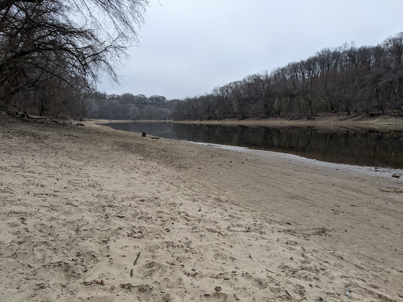
I was grateful for the chance to spend time connecting to this place. It struck me that this river is one of the longest in the world, and yet here it is, calmly flowing next to me. The water travelled from Lake Itasca to get here. Before that, the water was rain or ground water. After it reaches the Gulf of Mexico, it will still continue to travel through many cycles of evaporation and condensation and ocean currents. The world keeps turning and life is good.
Thank you for reading my ramblings.

Leave a comment