
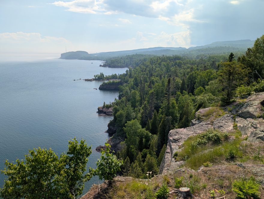
This gem on Lake Superior is one of the Minnesota State Parks where you can park without an entrance fee. It is about 60 miles (100 km) northeast of Duluth on Highway 61, the main route along the North Shore. It is past Gooseberry, past Split Rock, past Silver Bay. If you see a sign for the unincorporated town of Illgen City, you just missed it. If you are driving southwest, it is about 20 miles past Shroeder. Or maybe you are driving south from Ely and the Boundary Waters. It is close to where State Highway 1 meets Highway 61.
The first parking lot has a rest stop with plentiful, clean restrooms. This Visitor Center also has a sitting area with tables, an area with educational displays, park rangers, and a gift shop. The trailhead to Shovel Point is here, too. Other trailheads deeper in the park require a daily pass or the annual State Park sticker on your vehicle. Pro tip: get the sticker. For $35 you can support Minnesota’s state parks and get in free for 12 months to all 75 properties (64 state parks and 9 state recreation areas).

Shovel Point Trail
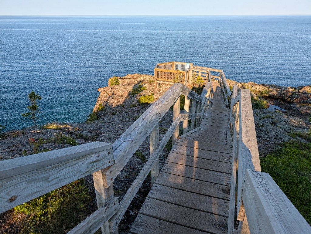
There are lots of great day hikes here. Shovel point starts from the Visitor Center. It is a 15-30 minute walk up and down many steps. And another 15-30 minutes to return back to the starting point. On the first map below, the Visitor Center is the blue dot outlined in white. The yellow square with the black circle is the end of Shovel Point. We didn’t quite get there on the first try, it started to rain and we decided to turn around at the first big overlook. The sign at the beginning of this trail says it is 0.7 miles but unless you are in excellent physical shape, you will need to rest before you get there. Enjoy multiple overlooks with new wood platforms. Recent storms claimed many of the mature trees and there are signs telling you to stay on the trail so the area can heal. The end of the point has the hiking club password and a great view of water and cliffs. I returned to finish the hike on a Sunday evening in July. Perfect weather and no crowds. So magical.
Trail of Waterfalls
Two Step Falls and the High Falls are highlights of another great day hike with lots of ups and downs. It had recently rained and so it was a bit muddy in spots, but not a problem. A beautiful trail.
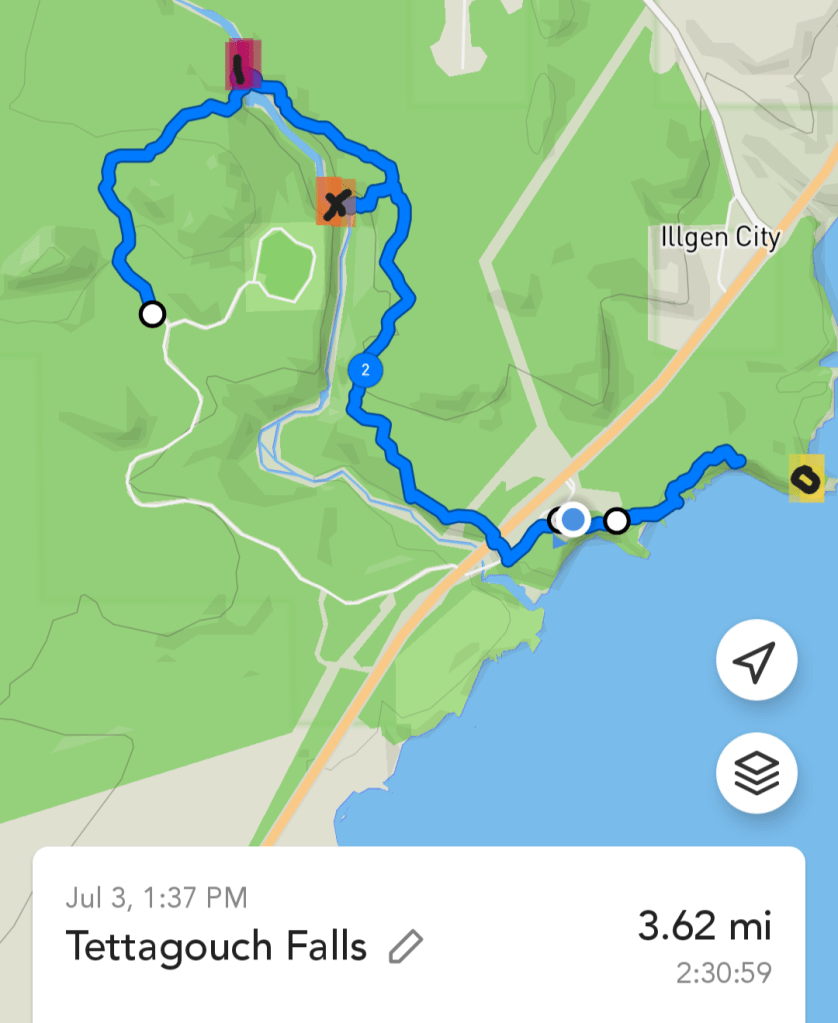
We started our Waterfall viewing hike from the trailhead at the end of the park road. It is just past the entrance to the campground loop. We were officially on the Superior Hiking Trail for part of this route. You can see on the map below (the purple square with a “1”) where we crossed the river. That is where you will see the High Falls. The bridge is different than I remember, it must have been replaced at some point in the last decade. We enjoyed High Falls from a few different vantage points but decided against the many steps down to the pebble beach. We continued on toward Two Step Falls which was on the way back to the Visitor Center to meet up with others from our group.
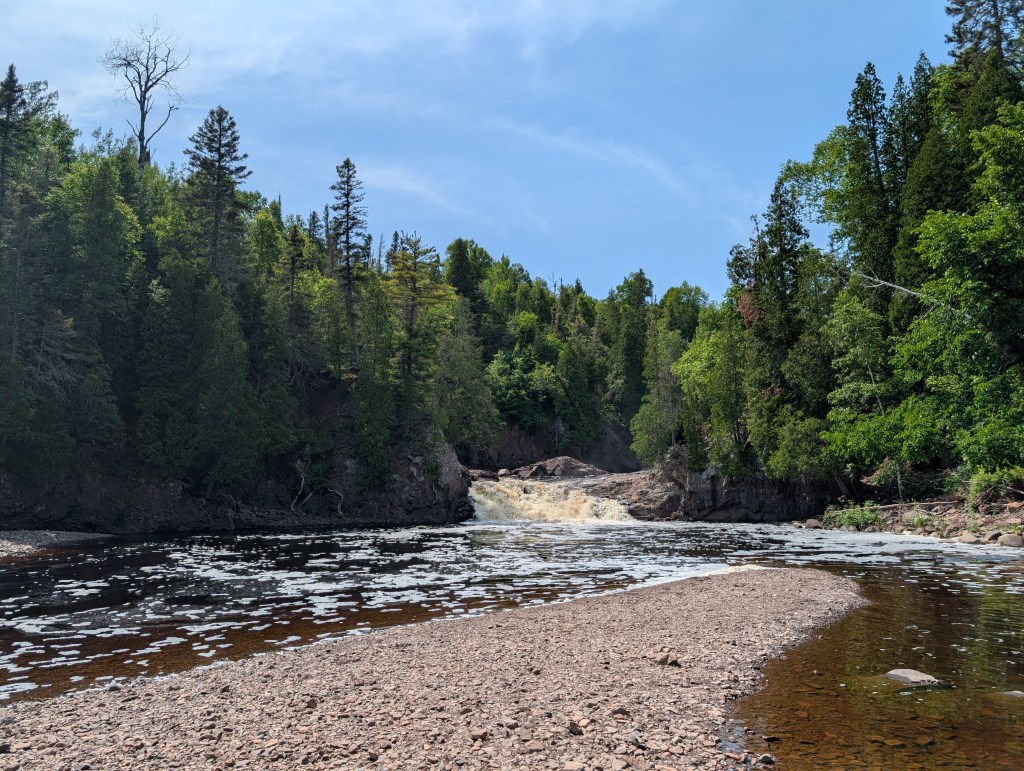
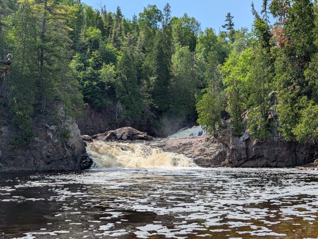
There were three places where you could choose spur trails to get down to the river, all of them involved lots of steps. We chose to follow the steps down to Two Step Falls. (the orange square with an “x”) The sign says 200 steps. I counted them on the way back up. It is my way of turning a grueling task of endless steps into manageable chunks. 10 steps, rest. 10 steps, rest. Going up 10 steps is no problem. Doing it again is no problem. And that is how it gets done. The last step was step number 187. That washed out section at the bottom must have been the other 13 steps. At the bottom we had to do some scrambling to get past that section. It was so worth it. A flat pebble beach in a canyon with the two waterfalls and a perfect sitting rock big enough for all three of us. Amazing. As you plan your route, it is good to note that there is no bridge across the river at this point. We had walked 3 miles (5 km) when we reached the Visitor Center.



Cascade Trail
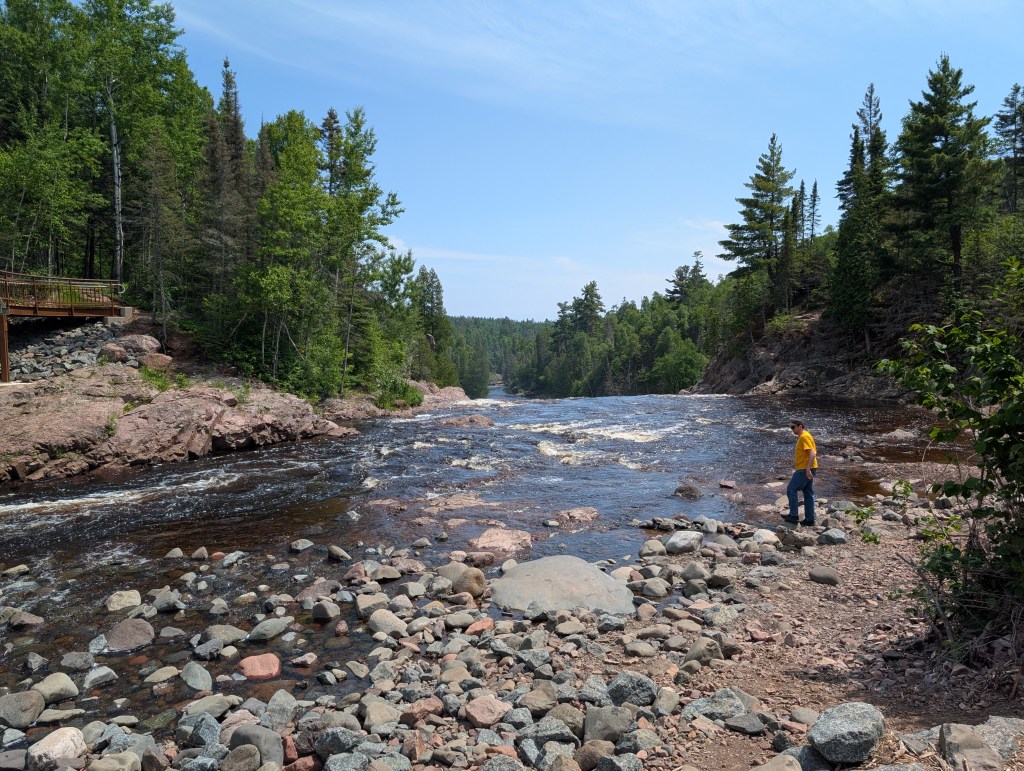
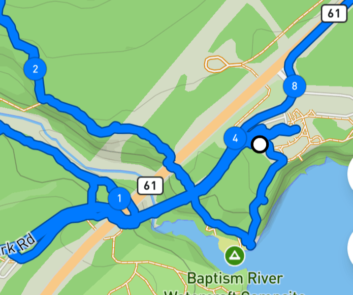
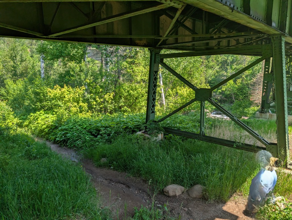
There are many miles of trails in this park that we did not have time for on this trip. We did explore the 0.8 mile Cascade Trail. It only has a few steps and goes along the river on the southwest side. It is lower in elevation, almost right along the water. We crossed the river on the park road bridge and then checked out the great views of the mouth of the river where it meets Lake Superior.




Stay an hour, stay for days. Tettegouche State Park has a trail that is worth your time. Have you experienced this park? What is one of your memories of being here?

