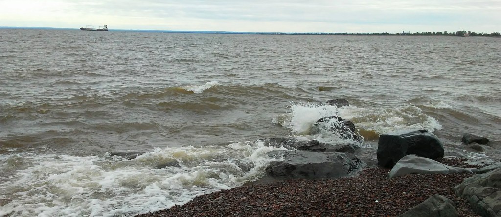
Duluth, Minnesota. Amazing. Sit by a beautiful natural waterfall. Take a few steps and enter a restaurant. Eat your fill and then walk past a farmer’s market, some houses, and and art center. After just a few blocks you have arrived at the largest freshwater lake in the world. Oh, and did I mention the manicured Rose Garden that you will walk through before you actually get to the shore of Lake Superior?

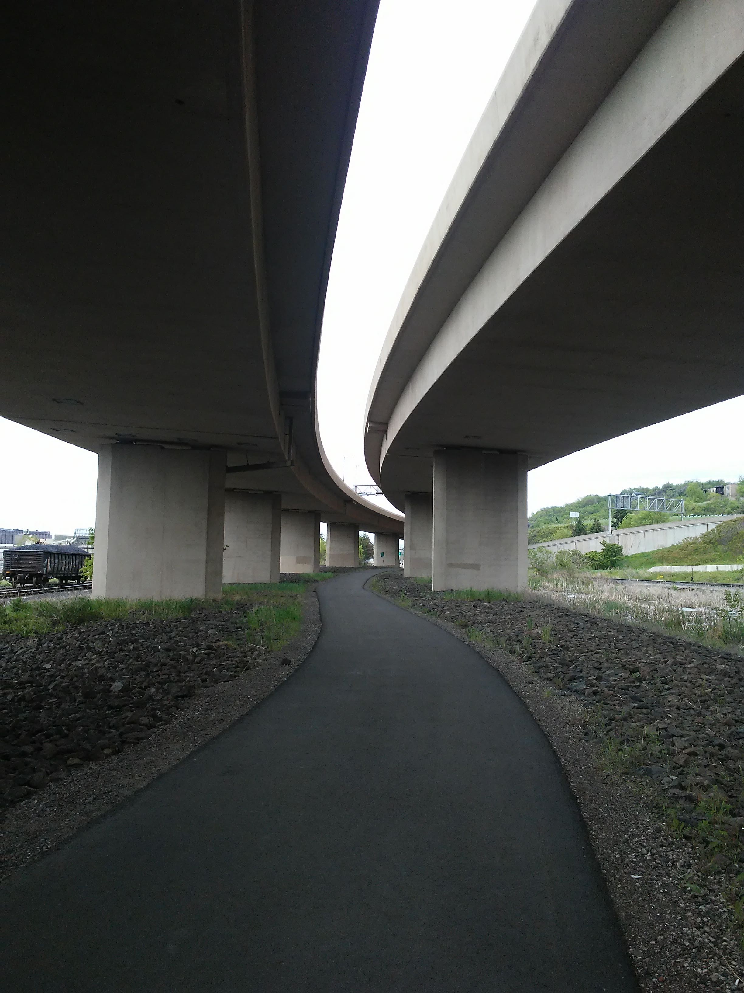
I have spent a lot of time in Duluth and still I get awestruck. The variety of visual input that enters my brain is an entertainment for me. There are shady, mossy places with ferns and thin streams of water gently gliding around smooth round black stones. There are rivers rushing over jagged rocks cascading into white splashes and deep dark pools. There are wide vistas looking down on an industrial harbor. There are wide vistas with waves crashing against a rocky shore. There are city streets and tall buildings. There are tourist areas with boardwalks and bridges.

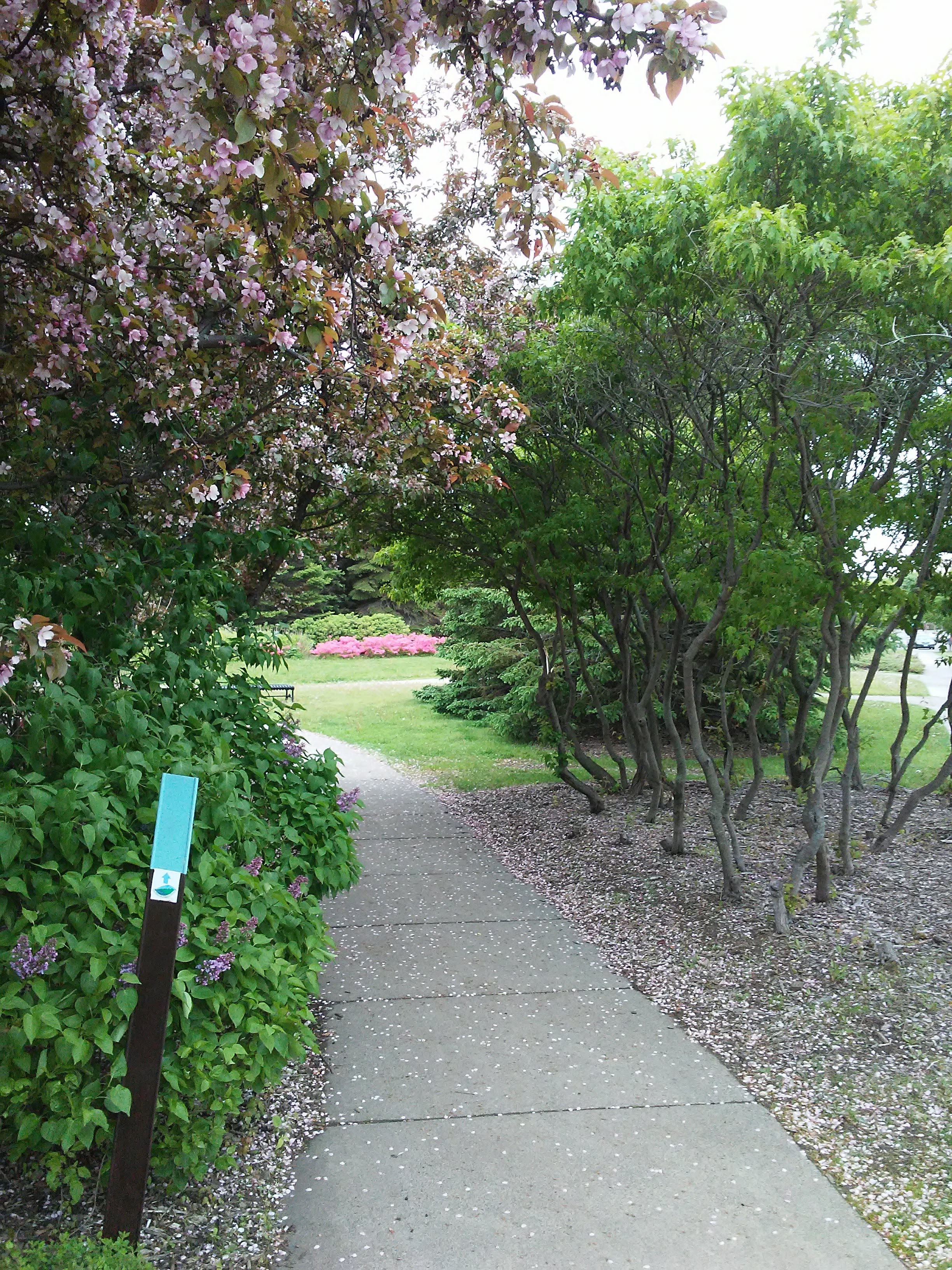
This hike was day three of my trip to Duluth. On day two my friend met me at the end of my hike at a restaurant called Burrito Union. It is literally on the Superior Hiking Trail where the trail transitions from woods to sidewalk. The next day she dropped me off in the same spot so I could continue following the same trail. Once I got to Lake Superior the trail followed the shore through Leif Erikson Park, Fitger’s, and Canal Park. My concern that I might lose the trail in the sea of tourist attractions was unfounded. Superior Hiking Trail signs with arrows were easy to follow.

It was chilly and windy. Luckily I had a hood on my jacket to block the wind and I had some gloves in my backpack. They are thin gloves but that was all I needed. Once I started to climb the hill to Enger Park I did not need them anymore. Halfway up the hill it was so warm I took off the jacket and stuffed it in the pack. Be prepared for this if you come to the North Shore. Temperature varies greatly depending on how close or far you are from the Lake.

For these day hikes in Duluth I just used a regular school backpack although I am looking for a better daypack. The one I have is heavy even when it is empty. I would like to find one that does not make my back sweat and has multiple compartments to keep my food separate from the art supplies and bug repellent. Clips or pockets in front are needed for items to have in easy reach: water, pepper spray, phone, map, and whistle. I used a water bladder instead of a water bottle this time and I liked the convenience of it. No stopping to pull out a water bottle and put it back. I am sure it looked strange to others who did not know why a tube was sticking out of my backpack. I tried not to worry about that. I still had a backup water bottle in my pack because it is hard to tell when the water bladder is almost empty.
Usually on these long hikes I ponder the great mysteries of life. Not so on this day. My mind was occupied in simply looking for the next trail marker to reassure me that I was on the right path. Wouldn’t it be nice if real life had trail markers? Some reassurance of being on the right path would be helpful! Anyway, on this hike I was fully in the moment and that was exactly what I needed. I was noticing the weather, the temperature, the surroundings, the view, the sky, the sun, the bugs or absence of bugs, the traffic, the people, the trains, the boats, the buildings and the water. I noticed some people in Canal Park that seemed disappointed that it was not warmer. They were surrounded by beauty and seemed unaware of it. It confuses me when I see people dressed in shorts and tank tops complaining that they are cold. Did someone else pick out their clothes for them? Ah, but we should not judge. Everyone is living their life the best way they know how.

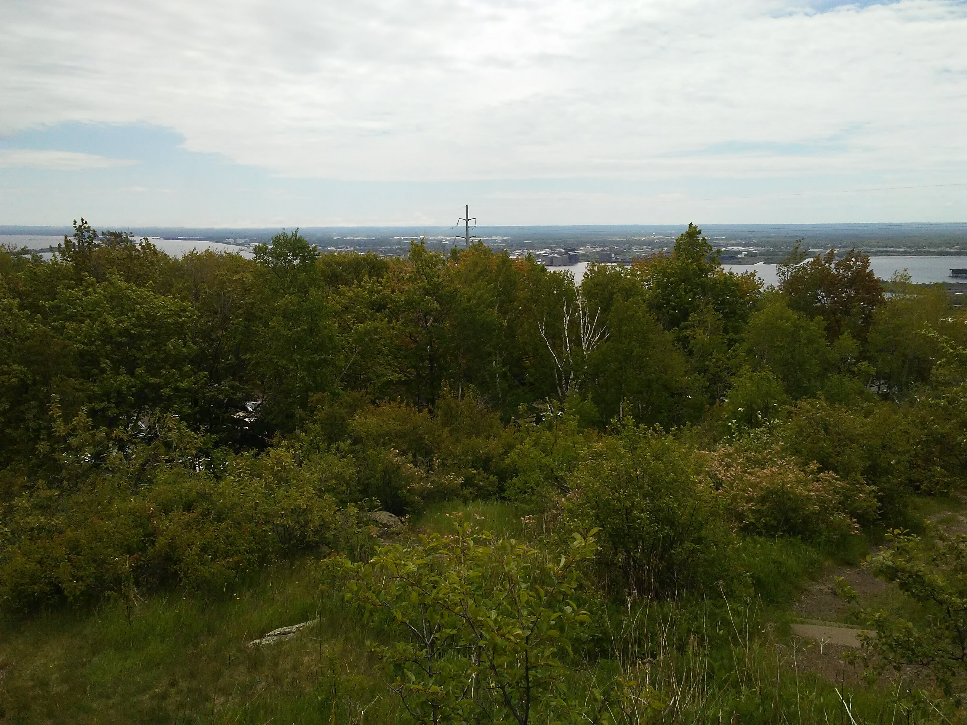
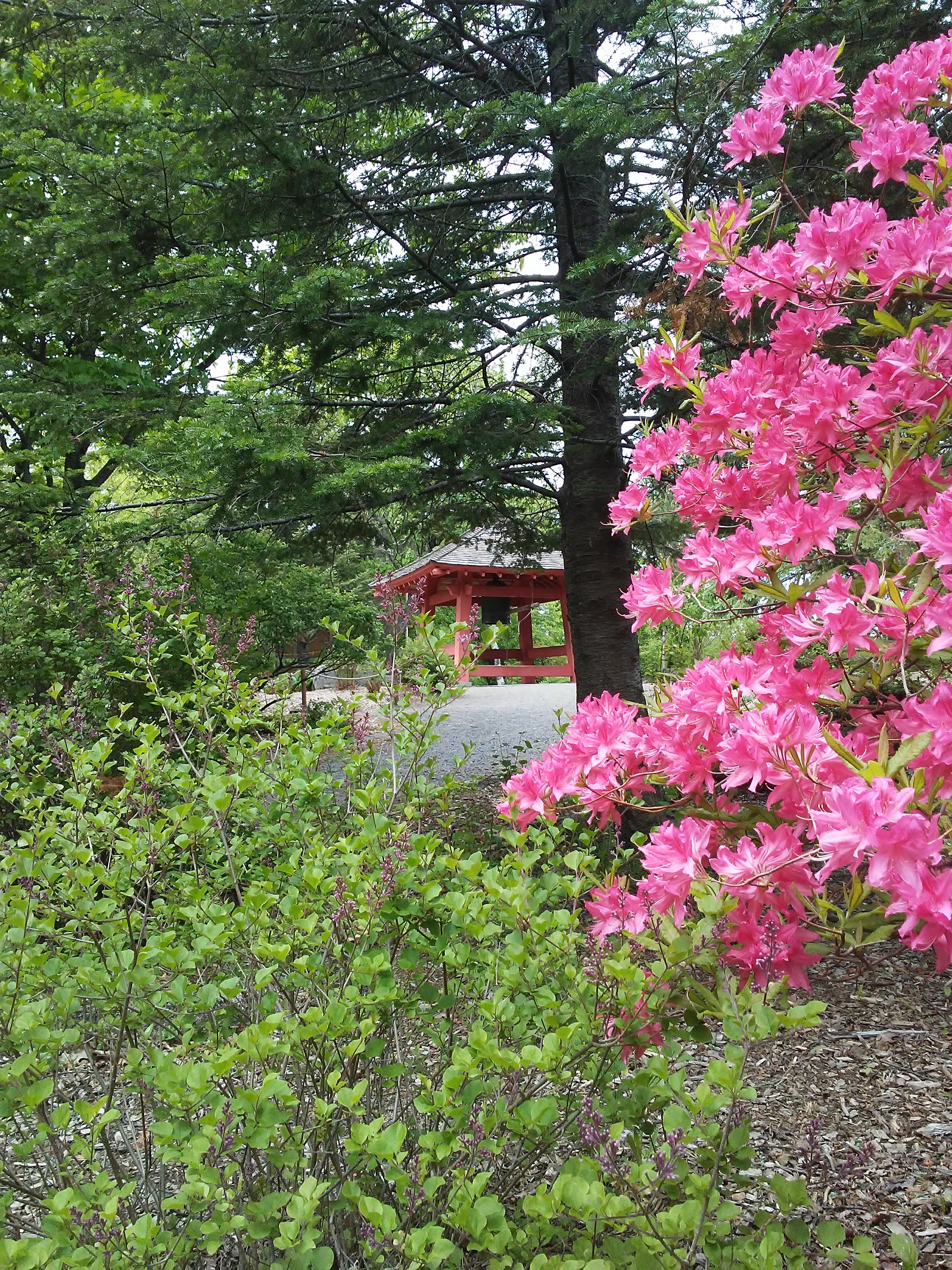
At the end of the hike was Enger Park which has a beautiful Japanese garden with a “Peace Bell”. It was given to Duluth by the city of Ohara, Japan. I wish I had arrived at the bell at a less busy time. It was impossible to ring it and then listen until you could not hear it anymore because someone else always came along and rang it again. Still, I rang it and listened. It signified the end of my three days of Duluth hiking. Now I feel refreshed and ready for whatever is next.


This section of the Superior Hiking Trail was the part I thought I would be the least excited about because of the city walking and tourists. I was pleasantly surprised. A wonderful day hike!

Leave a comment