Superior Hiking Trail: Enger Park and Lincoln Park

I returned to Duluth to pick up my mother at the airport. There were others more than willing to take this task from me but I wanted to go. Spending a week in a hospital waiting room can tend to sour a person on a city. I did not want Duluth to become an awful place for me. My mom and I spent a day as tourists. We went to Canal Park and Fitgers and Kitchigami Park. We walked and reminisced about other trips in years past. We stood ankle-deep in Lake Superior watching other families enjoy the waves and we were happy for them. Years from now they will be the ones reminiscing, and that is the stuff of life.

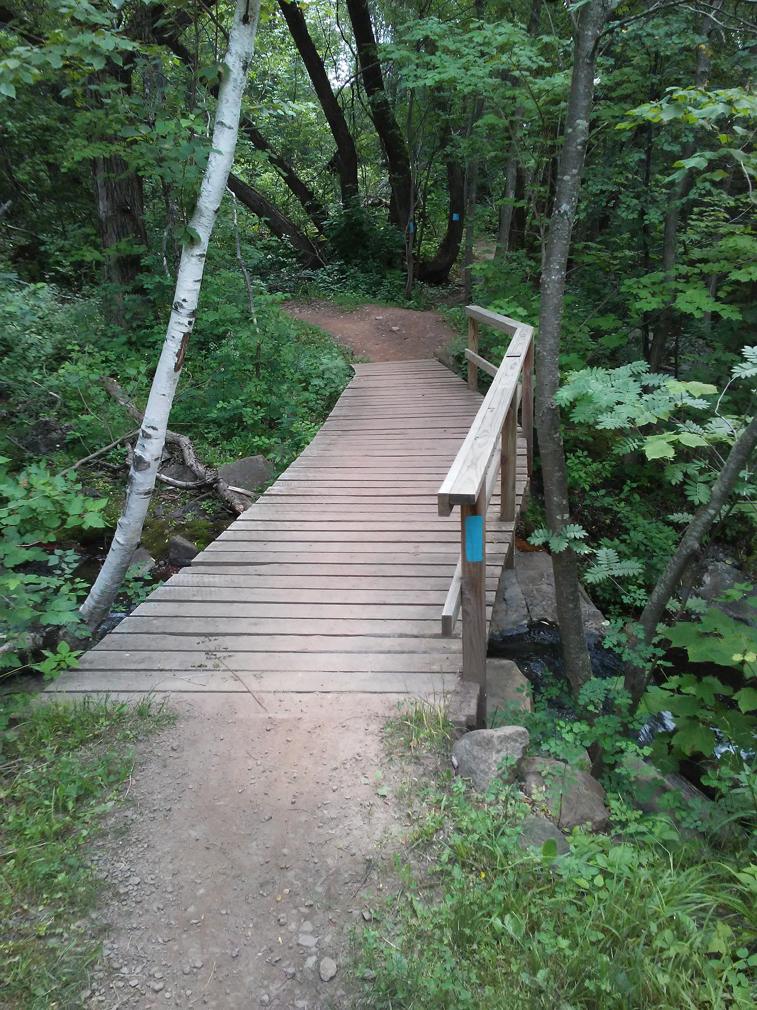
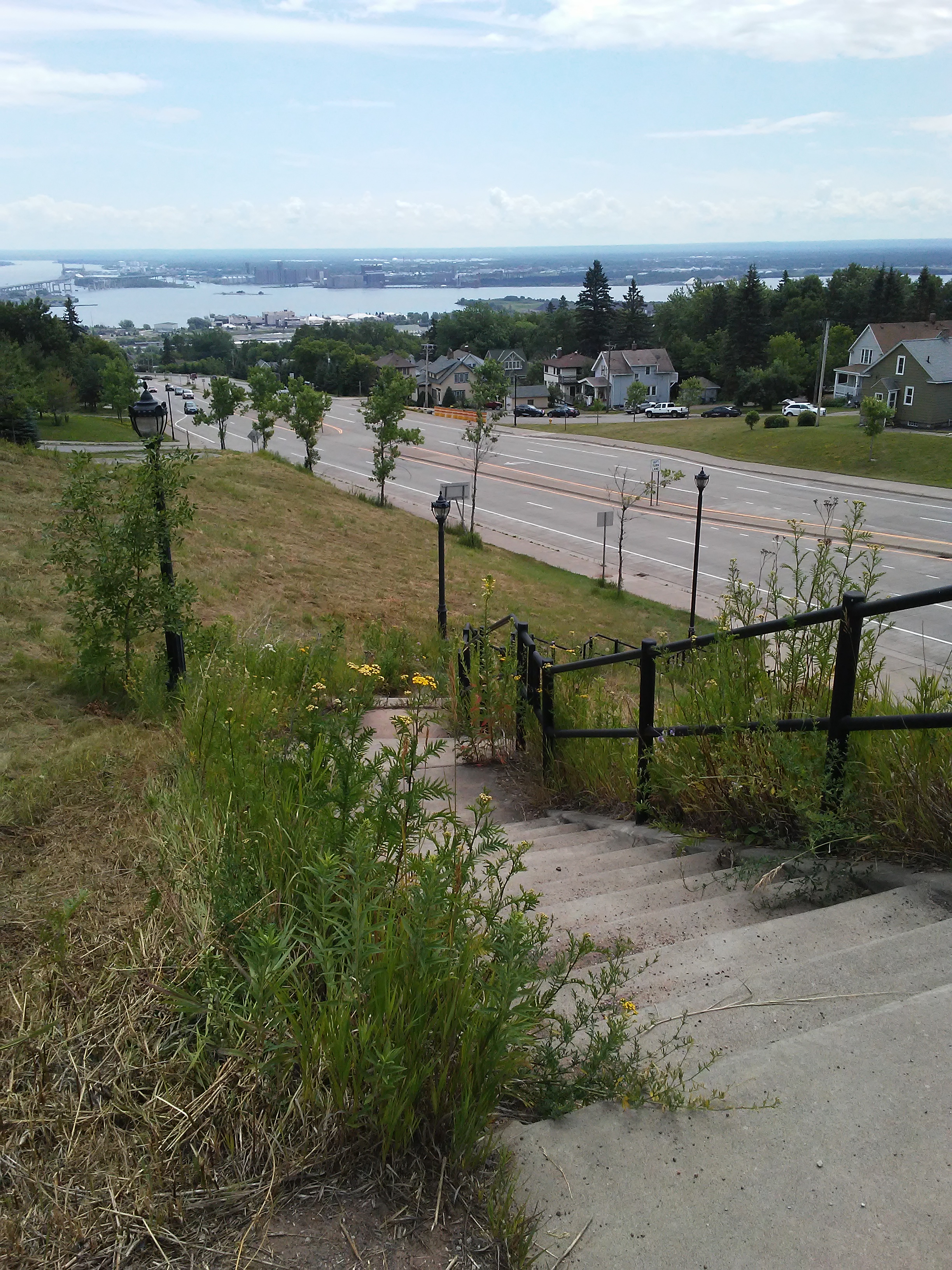
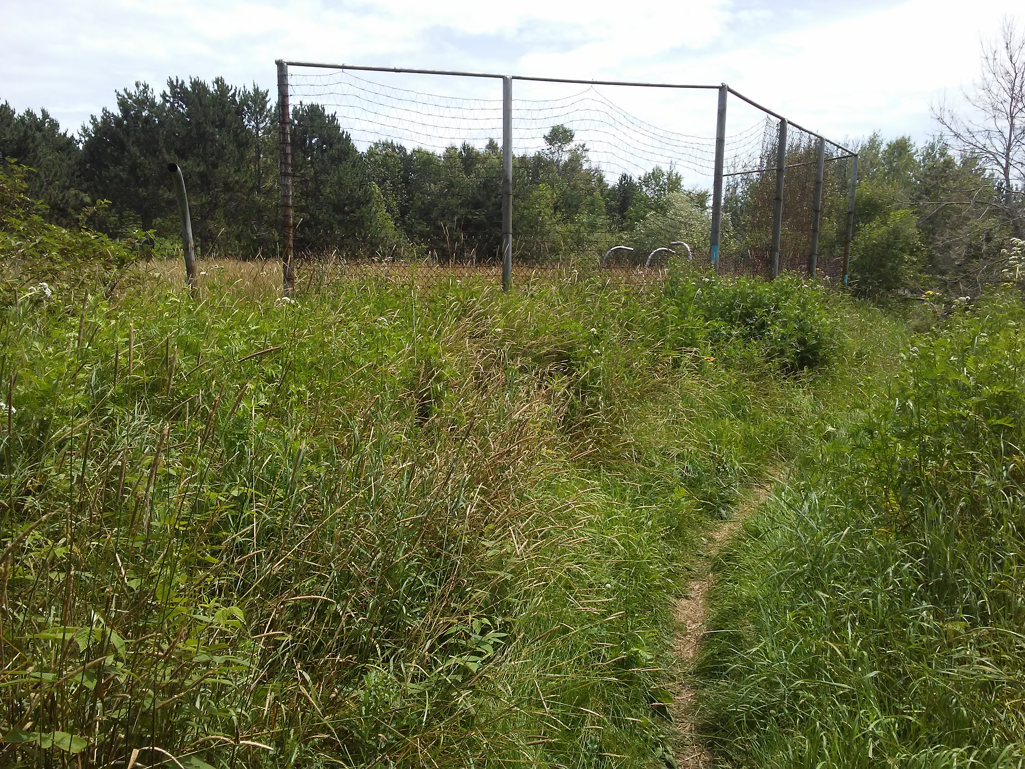
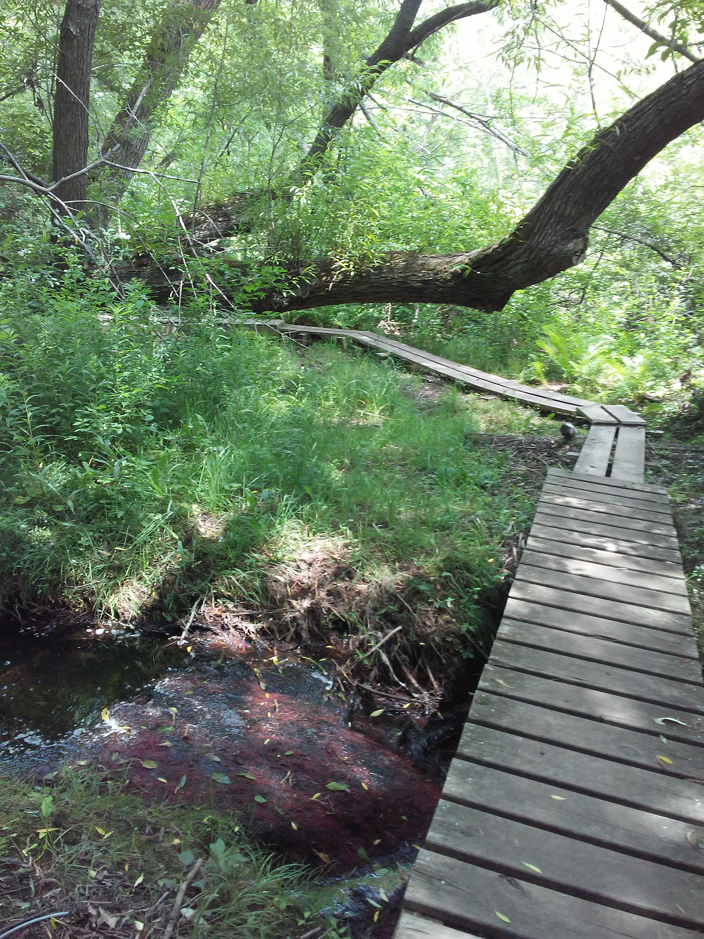
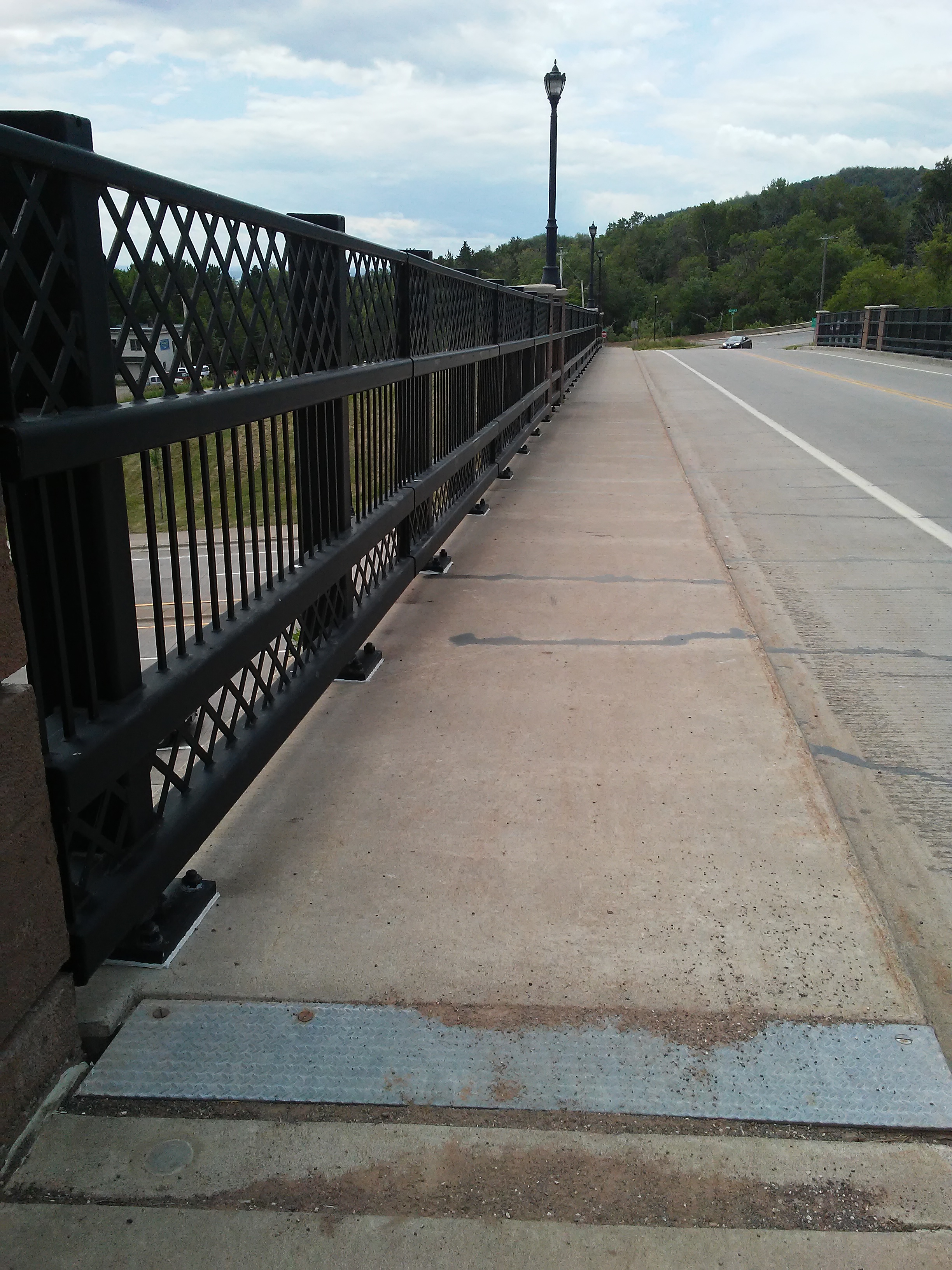
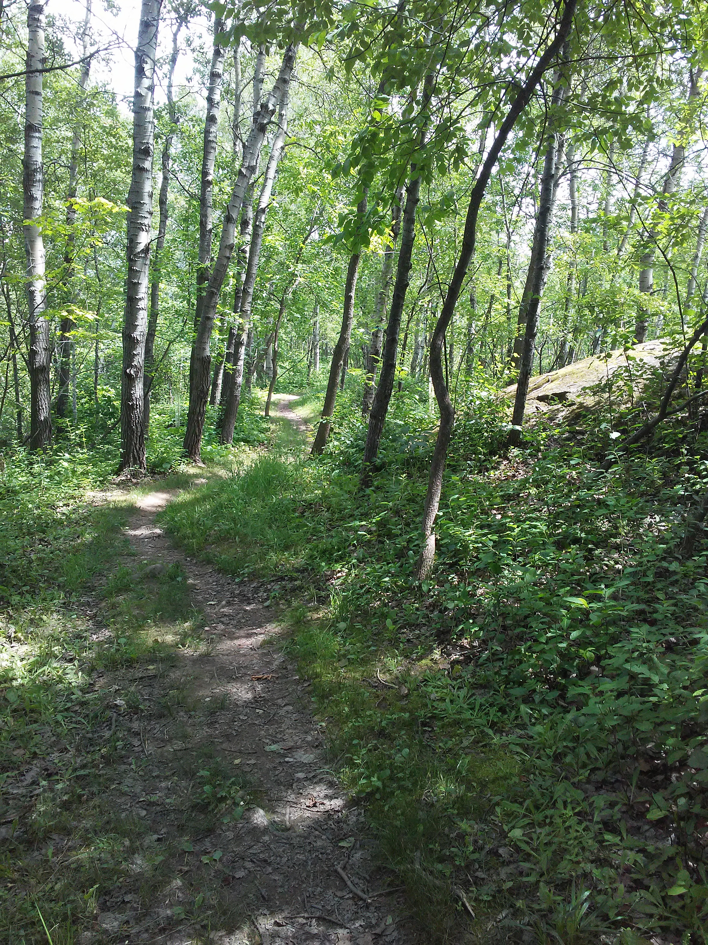
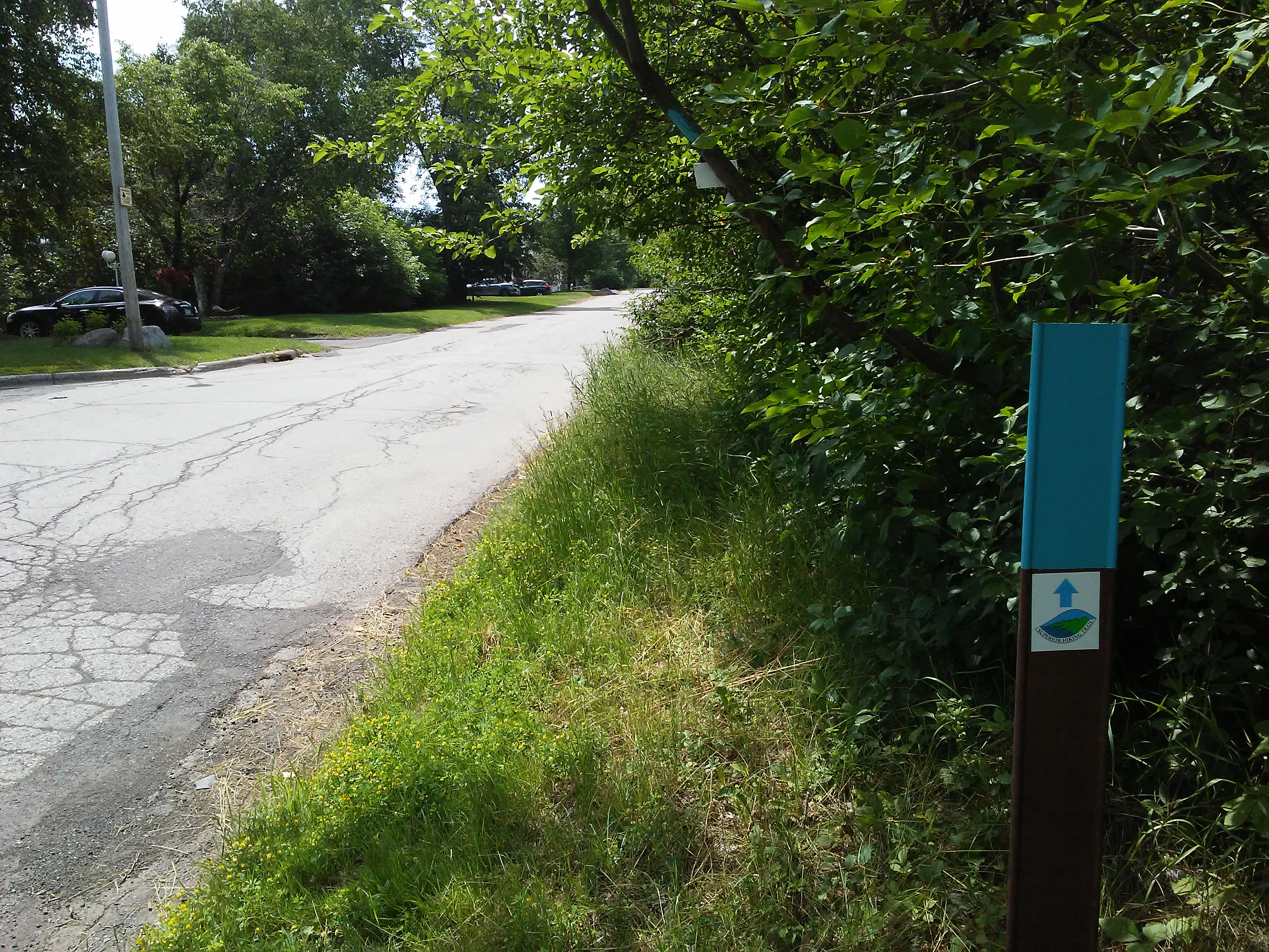
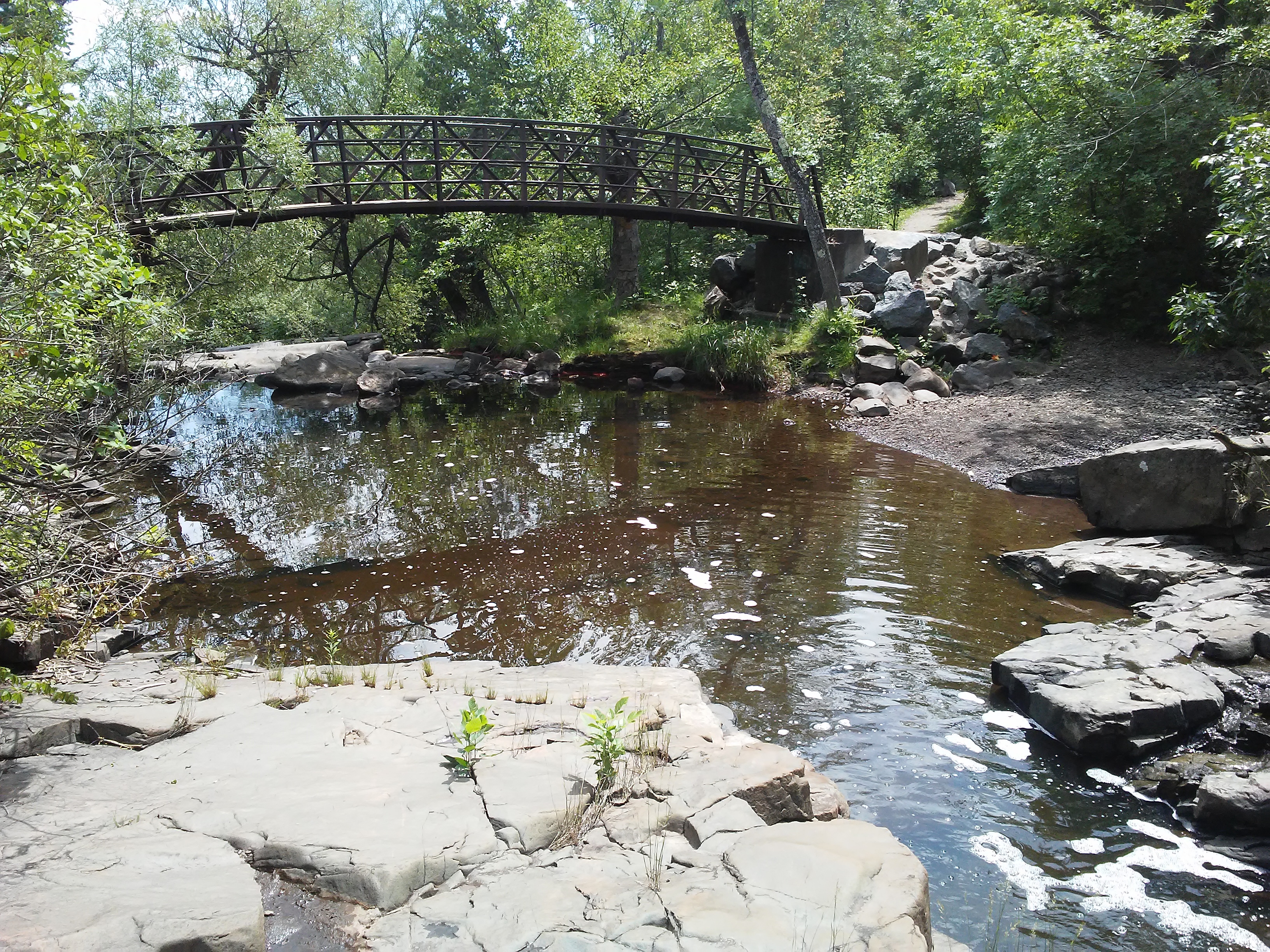
One thing that was left undone on my previous hiking trip to Duluth was this short section of the Superior Hiking Trail. It was a gap on my map that I have highlighted as I hike each section. Mom enjoyed the gardens at Enger Park as I hiked down the hill and back up again. It was only 3.6 miles round trip and took about 90 minutes.

This route started at the Peace Bell in Enger Park. The turn-around point was on 10th Street West
Curved highway going downhill in Duluth, Minnesota
After walking through the wooded area of Enger Park, the trail emerges at the park entrance.
Trail entrance across the road
I was glad that it was easy to find where the trail continued on the other side of the street
Great views of Lake Superior from rocks and wildflowers
The blue blaze on the bridge let me know I was still on the right trail.
Looking down from the bridge I saw red moss.
Another great view as I crossed Highway 53
The remains of a basketball court.
Looks like it has been a long time since a ball game was played here.
Bridge over Highway 53
After crossing the bridge I looked around for a trail sign. It took a minute, but I found it to the left and across the street.
Once inside Lincoln Park, the trail follows a creek.
The trail crosses this bridge.
An interesting tree
Exposed bedrock among the trees with dappled sunlight. Visually pleasing.
10th St. W. is where I turned around. The next trail sign is two blocks down this street.

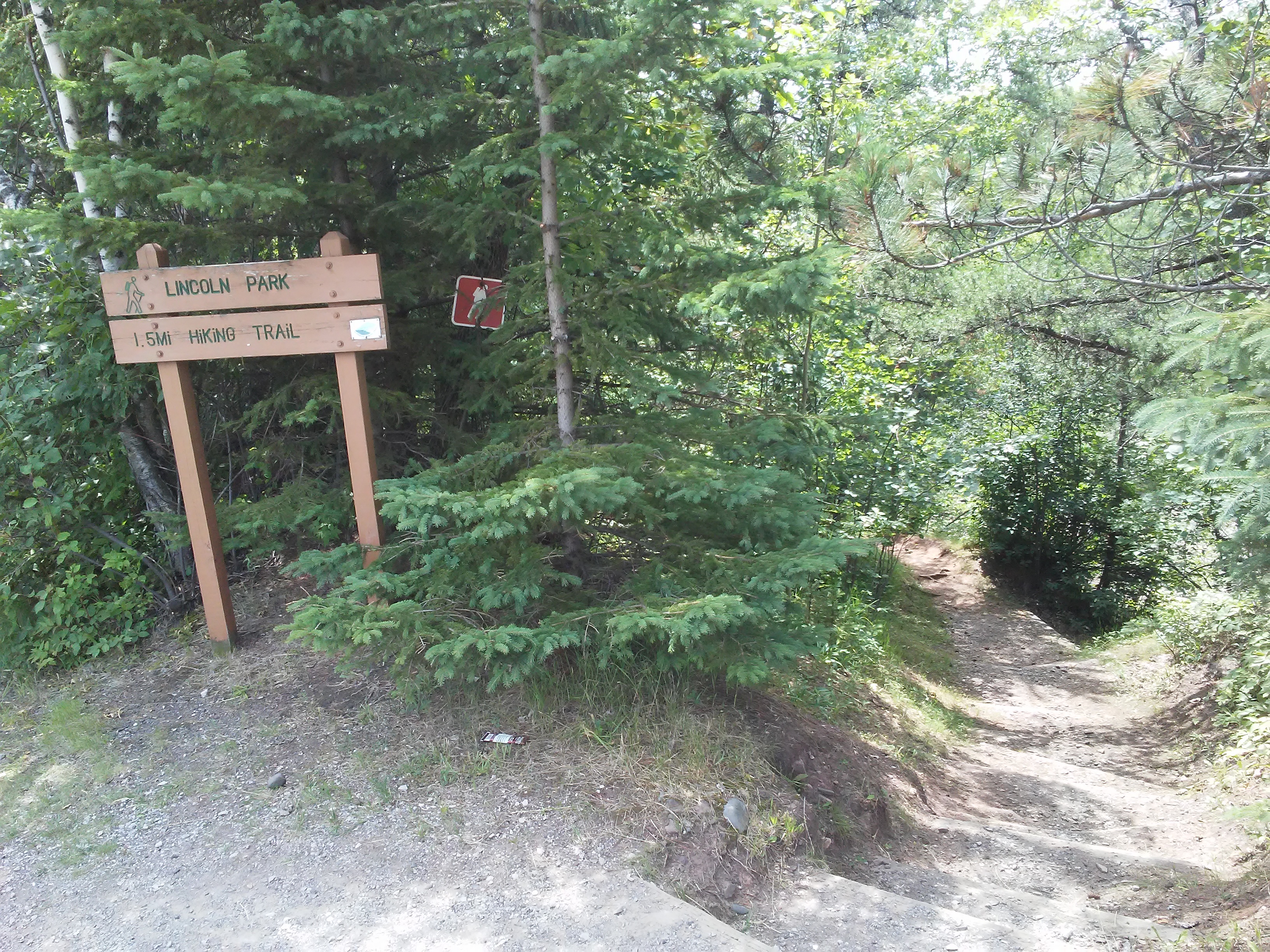
If you want to know more about the next section of trail, read the post, “Superior Hiking Trail: Highland Ave to Lincoln Park”. That section was hiked in the opposite direction, but you will see pictures and a video of where I temporarily lost my way.

Leave a Reply

Fill in your details below or click an icon to log in:

WordPress.com Logo

You are commenting using your WordPress.com account. Log Out /  Change )

Facebook photo

You are commenting using your Facebook account. Log Out /  Change )

Connecting to %s

This site uses Akismet to reduce spam. Learn how your comment data is processed.

Website Powered by WordPress.com.

%d bloggers like this: