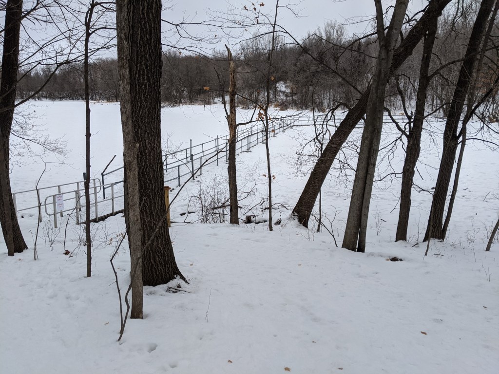
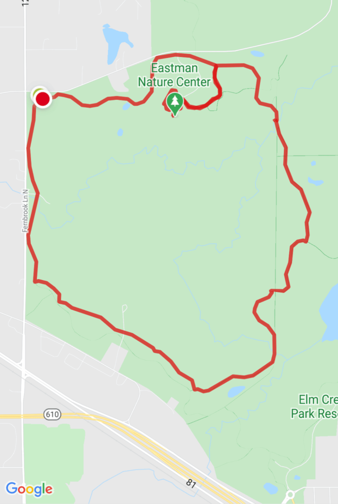
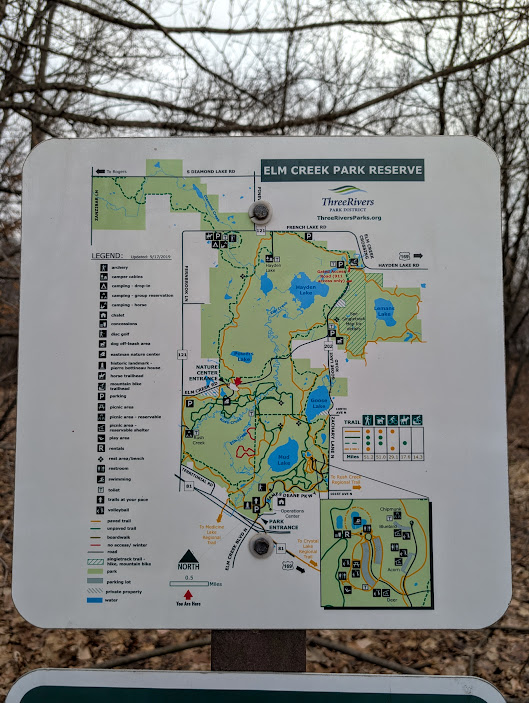
Hennepin county is the home of this expanse of forest and grassland just a bit north and west of Minneapolis. There are multiple ways to get here. If you drive, the best place to park depends on the activities you have planned for yourself. On my first trip here in 2021, I followed the signs that directed me to the south parking lot. Clearly it was the location for sledders and skiers but I did see people walking too. I checked the map and it looked like the hiking trails were connected but only about one mile of Elm Creek walking path is accessible from the south lot. Connecting to the Rush Creek Trail was not in my plan on that day. The Rush Creek Trail is a 10 mile trail to the Mississippi River at the Coon Rapids Dam. Actually, I knew all along this was the wrong place to park but I wanted to see what was possible from here. I decided to hike at Elm Creek because of this article. She said to start from the Nature Center on the north side of the park. I should have listened. Yes, it was mildly interesting to explore an area that was new to me, but getting back in my car to drive to the north end of the park was disheartening and stole precious daylight.


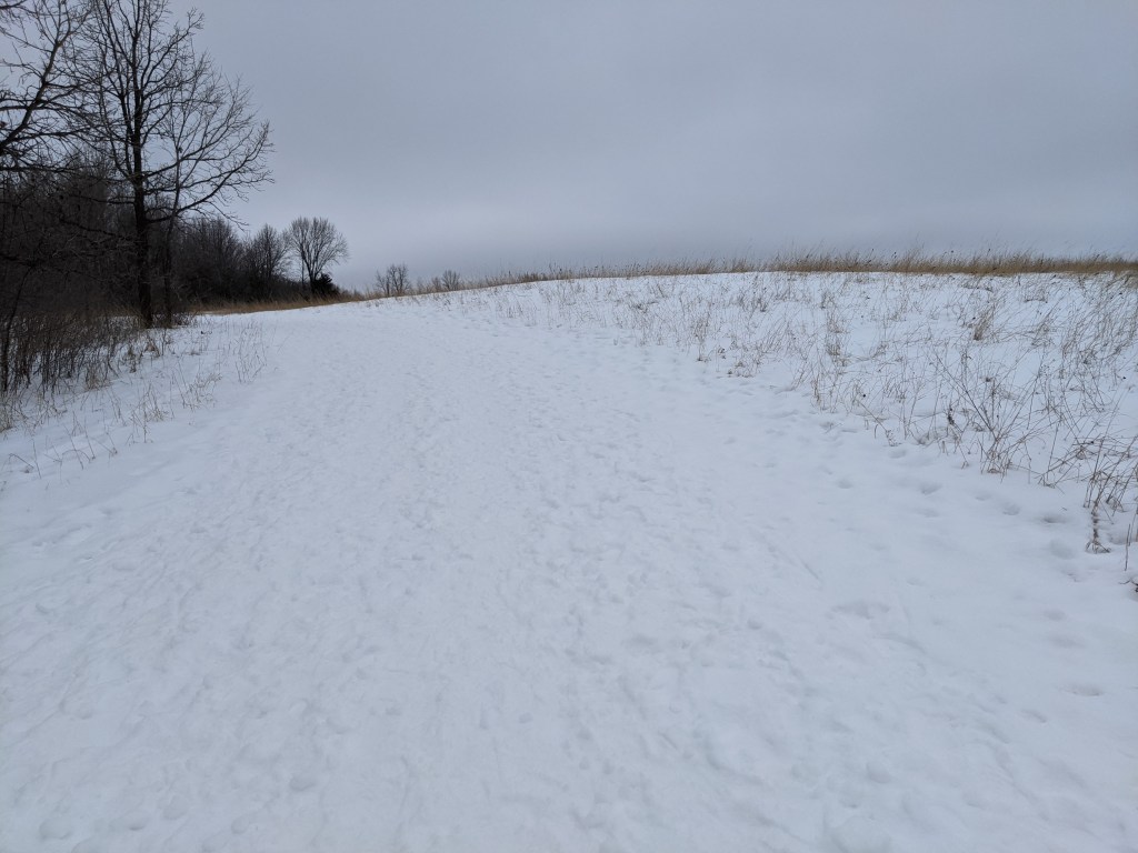
I almost gave up and drove home, but that did not feel right. I did not drive all that way to just walk a mile or two on an icy paved trail. The trailhead parking on Elm Creek Road is small, just enough space for about 8 cars and it was almost full. One open spot just for me! There is a loop that is about 5 miles through woods and grassland. It was exactly what I needed. There are lots of intersecting trails so you could go around a few times and vary it a bit each time. Most everything is clearly labeled to let you know if it is a section for hiking, skiing, or multi-use. I’m looking forward to spending more time here in the future and see how it changes with the seasons.
2026 Update: The small parking lot on Elm Creek Road is gone! Park at Eastman Nature Center, also on Elm Creek Road.


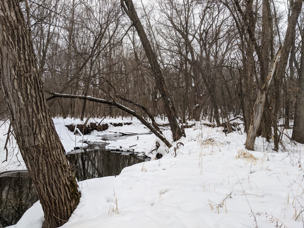
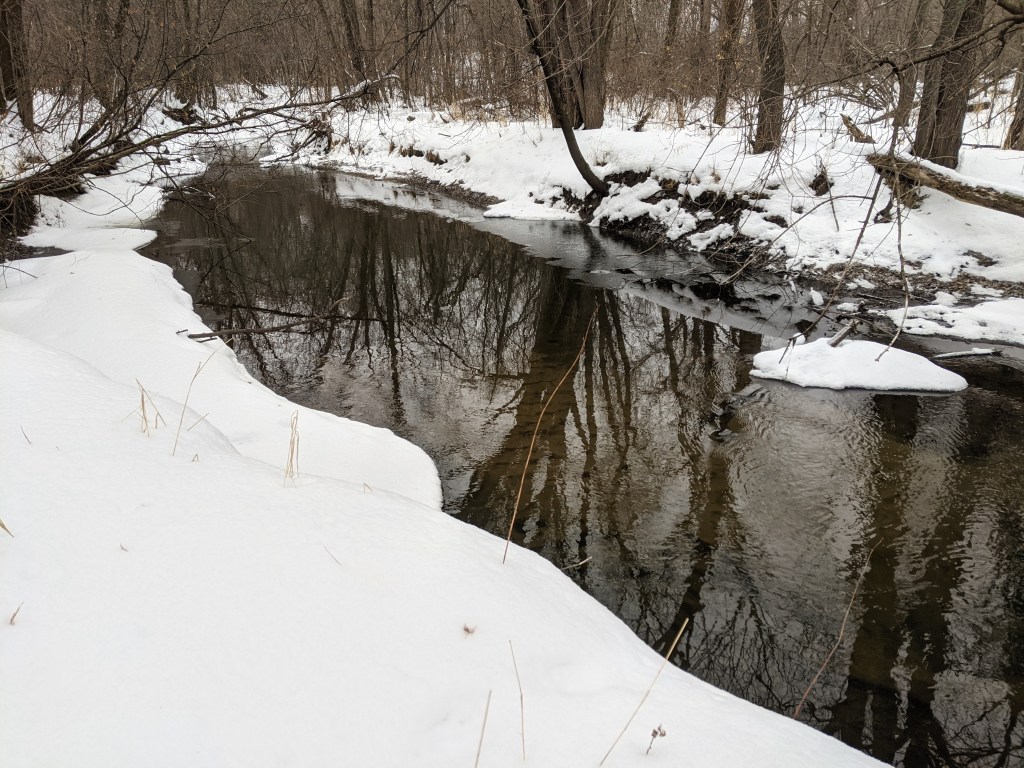


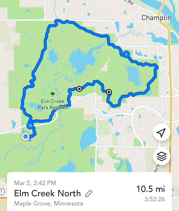
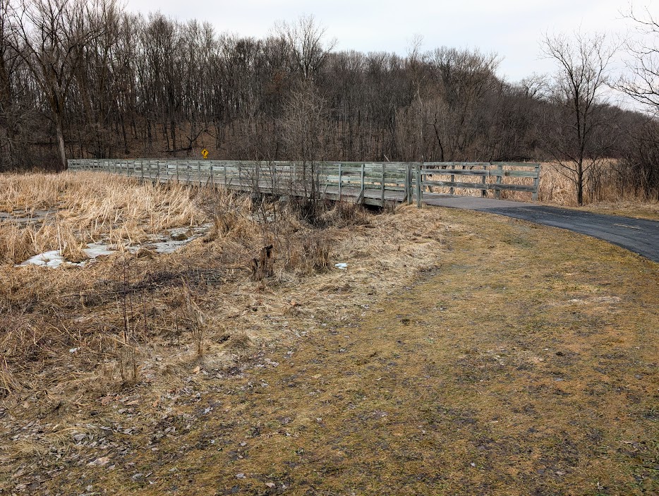
I have returned to this park many times since this first visit in 2021. Recently I explored the Hayden Lake Loop. It is a paved shared use trail over 10 miles long. It was getting dark when I was still far from my car. I closed the loop by walking on the snowmobile trail. In March, snowmobile trails are muddy and icy. No need to worry about having to share the trail with loud vehicles. I did see a trail runner and was impressed at how they ignored the mud. Dedication! There is also a Singletrack trail that cuts through Hayden Lake Loop but it was closed due to wet conditions. That trail is mostly for bikes, although it said hiking was allowed when it is open. I recommend using the bathroom at Eastman Nature Center before starting this loop. The only facilities are some pit toilets at the parking for the Singletrack trail which is about halfway around the loop.
I have been to this park now in all four seasons, but apparently the only summer photo I have is this yellow flower. Enjoy.


Leave a comment